
The map lands inside your program
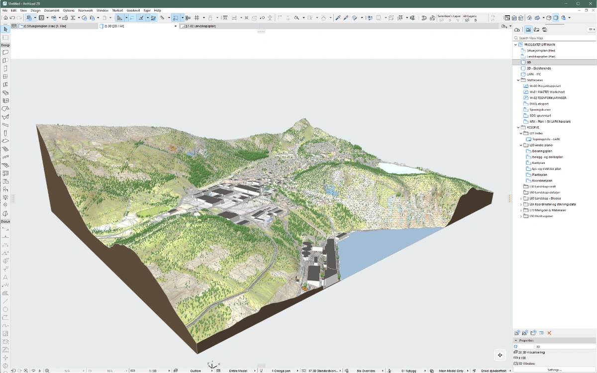
GeoAnvil plugins will connect your CAD program to your account and place a map in your project with its layers and georeference intact. Archicad is currently in private testing; the open delivery formats remain available without a plugin.
Private-test flow: from order to model
Buy a map
Draw your site in the map picker and check out. The map builds in minutes and lands on your account.
Open the test plugin
Invited Archicad testers log in from inside the CAD program. Their maps are then listed there, ready to fetch.
Test the import
The private test places terrain, available parcels, buildings and layers with the delivery's documented origin and coordinate reference.
Where you work
Native import with editable terrain, buildings as individual objects, per-layer control and material mapping. Available to invited private testers.
Reads the same map format and links the site with correct shared coordinates.
Terrain as surfaces and the vector layers as native objects.
Site model and layers, placed on the user origin you chose at checkout.
The layered source data opens directly today; the plugin will make it one click.
Terrain and context ready for early massing studies.
Working in something else? Every map also ships as open formats, so the data opens anywhere.
What the plugin does for you
Georeferenced placement
Local origin, zone and survey point are set before anything is drawn. DWG and IFC exports from your project land exactly where they should.
Layer control
Choose what to import, layer by layer, in 2D or 3D. Skip what you do not need and fetch it later if you change your mind.
Native objects
Terrain you can edit, buildings as separate objects, and pens and surfaces mapped to your program's own language, not a flat drawing.
Synced with your account
Maps appear in the plugin the moment they finish building. Buy on the site, import in the program, no files in between.
 Create map